

0″
24 Hour Snowfall
Summit
Base
12 Hour
0″
0″
24 Hour
0″
0″
48 Hour
0″
0″
7-Day
0″
0″
Depth
36″
0″
YTD
235″
153″
61°
High
64°
Low
36°
Wind
4 mph
Lifts Open
0/14
Runs Open
0/50
Runs Groomed
0/50
Mon May 04, 2026 8:23 AM
Snow Reporter’s Message
Sierra-at-Tahoe is now closed for the 2025/26 season. Thanks for skiing, riding and making memories with us this winter. We can’t wait to welcome you back next season to celebrate our 80th Anniversary.
Season passes are on sale now. Grab yours to lock in the next season. Head to the season pass page to buy yours today.
5-Day Forecast
Today
Sunny
High
75°
Low
57°
Tomorrow
Sunny
High
79°
Low
58°
Saturday
Mostly Sunny
High
81°
Low
58°
Sunday
Sunny
High
80°
Low
58°
Monday
Sunny
High
82°
Low
60°
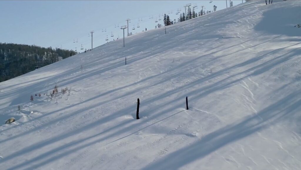
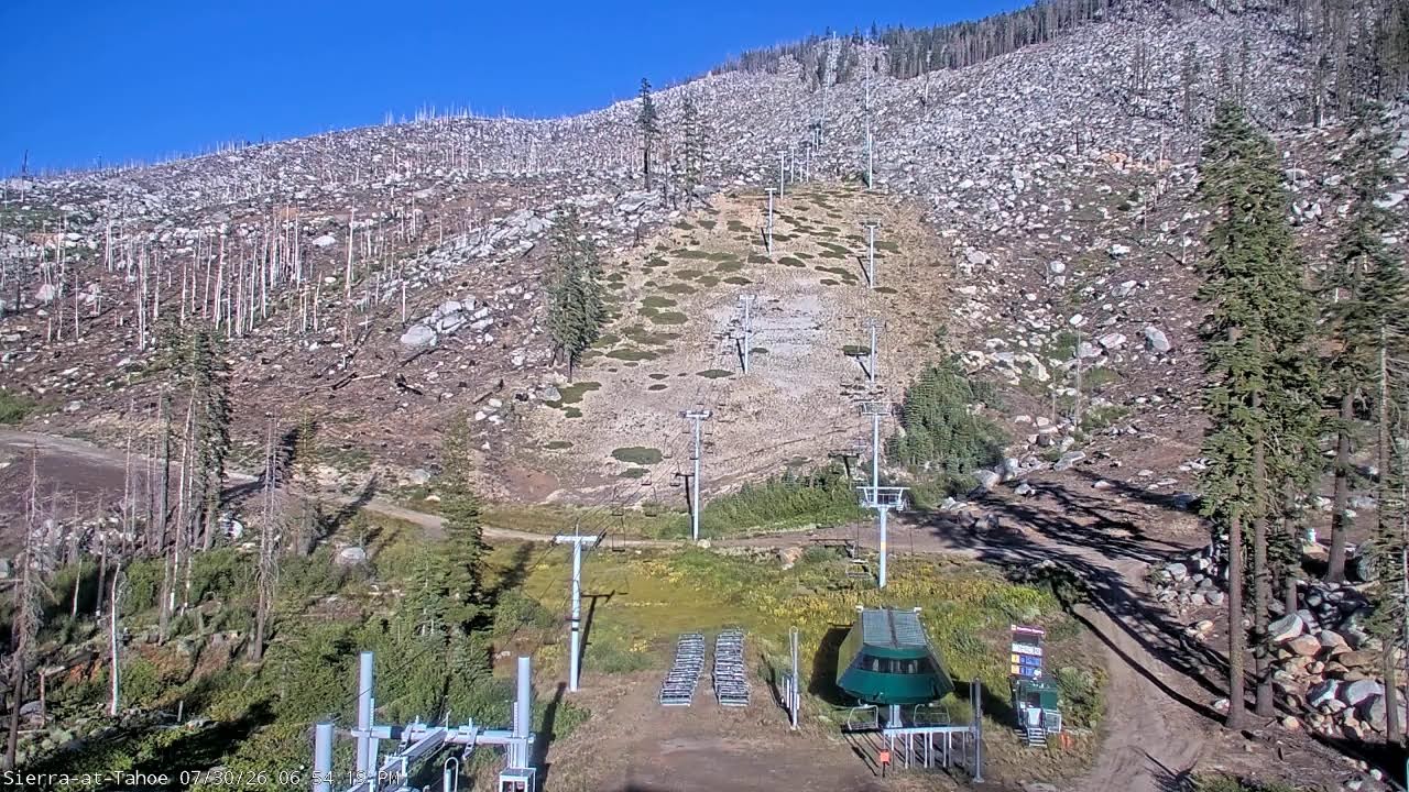
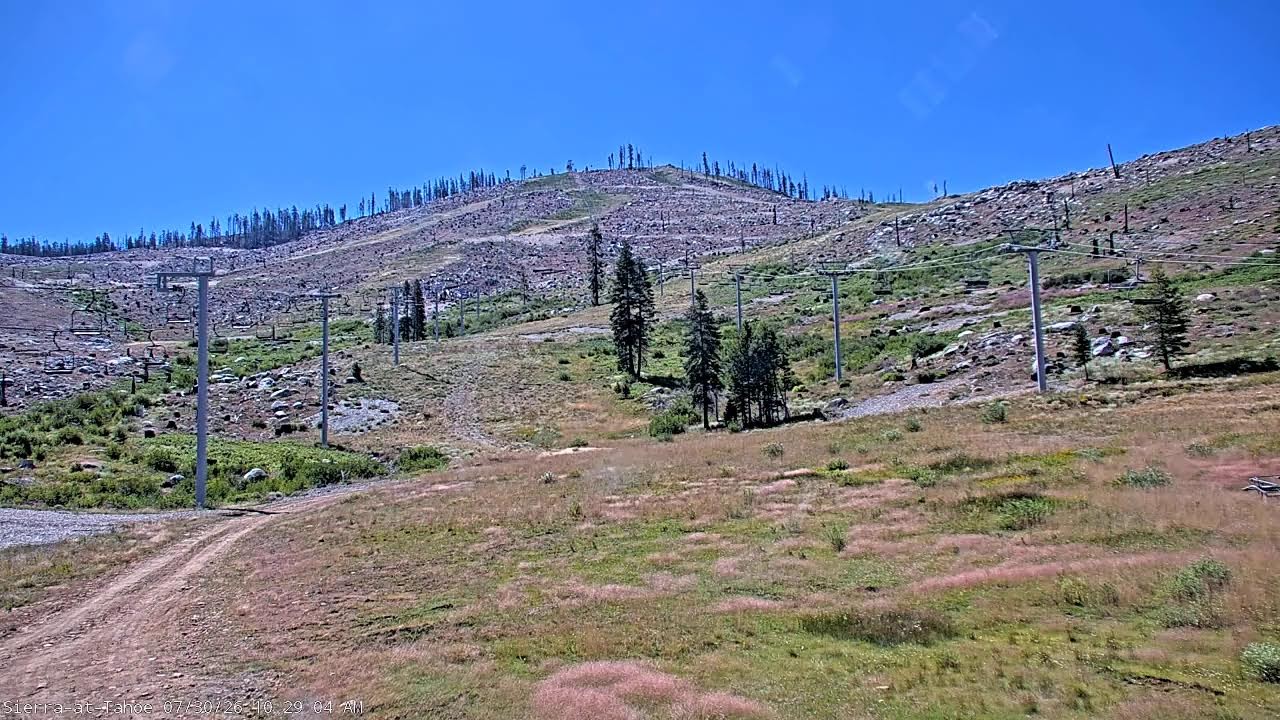
Live Webcams
Check out live mountain views and current conditions before you head up to the hill.


Caltrans Traffic Cams
-
US-50: Echo Lake
Hwy 50 at Echo Summit
High:
85°
Low:
53°
Sunrise:
5:59 AM
Sunset:
8:13 PM
-
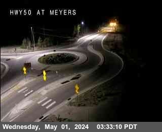
US-50: Meyers
Hwy 50 at Meyers
High:
87°
Low:
49°
Sunrise:
5:59 AM
Sunset:
8:13 PM
-
US-50: Twin Bridges
Hwy 50 at Twin Bridges
High:
79°
Low:
58°
Sunrise:
6:00 AM
Sunset:
8:13 PM
-
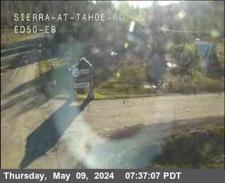
US-50: Sierra EB
Hwy 50 at Sierra EB
High:
79°
Low:
58°
Sunrise:
6:00 AM
Sunset:
8:13 PM
Road Report
Road
-
Highway 50
Jul 29, 9:45 PM
open
IN THE SACRAMENTO VALLEY & THE LAKE TAHOE BASINThe westbound connector to eastbound I 80 /in West Sacramento/ (Yolo Co) is closed from 2000 hrs each night to 0500 hrs each morning Monday thru Friday thru 7/31/26 – Due to construction – Motorists are advised to use an alternate route 1-way controlled traffic at various locations from 6 mi east to 12.5 mi east of Pollock Pines (El Dorado Co) from 1900 hrs each night to 0700 hrs each morning Wednesday thru Friday thru 7/31/26 – Due to maintenance
CAPITAL CITY FREEWAYNo traffic restrictions are reported for this area.
-
Highway 80
Jul 29, 3:45 AM
open
IN THE SAN FRANCISCO BAY AREA – SOLANO COThe westbound connector to northbound US 101 /in San Francisco/ (San Francisco Co) is closed from 2200 hrs each night to 0600 hrs each monring Tuesday thru Saturday thru 8/1/26 – Due to construction – Motorists are advised to use an alternate route A high wind advisory is in effect at the San Francisco-Oakland Bay Bridge /in San Francisco/ (San Francisco,Alameda Co) – Travel is not recommended for campers, trailers, or permit loads
IN THE NORTHERN CALIFORNIA AREA & SIERRA NEVADAAll westbound trucks are required to stop at the brake check area 0.5 mi west of Nyack (Placer Co) – To reduced the risk of brake fires
BUSINESS 80 – CAPITAL CITY FREEWAYNo traffic restrictions are reported for this area.
-
Highway 88
Jul 20, 10:45 PM
open
IN THE CENTRAL CALIFORNIA AREA & SIERRA NEVADANo traffic restrictions are reported for this area.
-
Highway 89
Jul 28, 11:45 PM
open
IN THE CENTRAL CALIFORNIA AREA & SIERRA NEVADANo traffic restrictions are reported for this area.
IN THE NORTHERN CALIFORNIA AREA1-way controlled traffic at various locations from 6.3 mi north of the Jct of US 50 /at Cascade Creek/ to 2.2 mi south of Bliss State Park (El Dorado Co) from 2000 hrs each night to 0700 hrs each morning Monday thru Friday thru 7/31/26 – Due to construction
FRESH SNOW? YOU’LL KNOW
Text Message Updates
Sign up to receive text message alerts whenever more than 6 inches of new snow falls, or for important resort updates.
Contact Ski Patrol
Need help on the mountain? Give our dispatch line a call to alert our Ski Patrol for assistance.